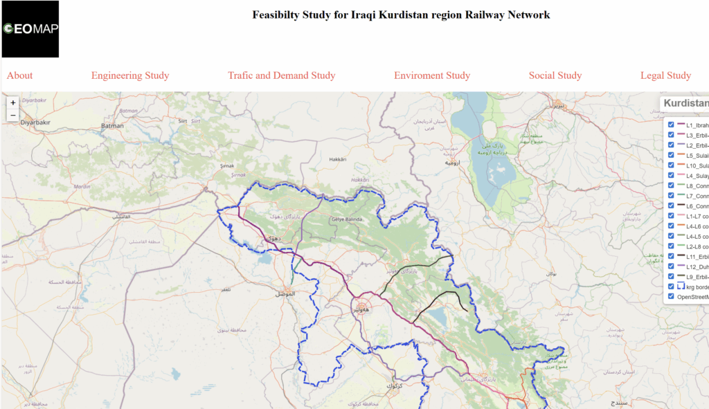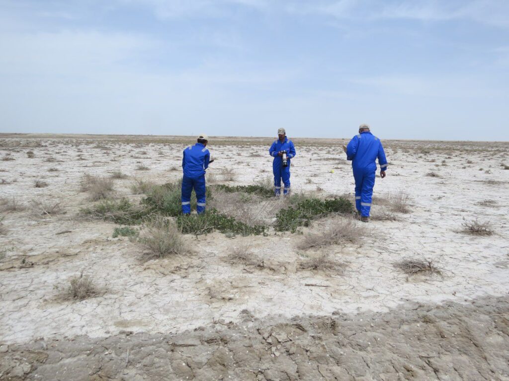
We provide comprehensive reports and maps to the government, international organisations, teams, companies and investor projects through data collection and studies such as qualitative and quantitative data collection, visualising and mapping, reconnaissance surveys, site selection using integrated GIS, providing GIS data, Environmental and Social Impact assessment (ESIA), identifying stakeholders, environmental studies, risk of the project, etc… Our team supported many international companies.