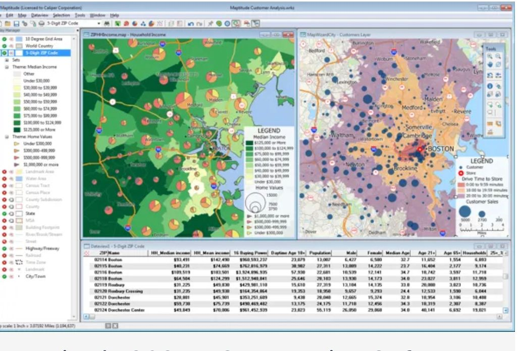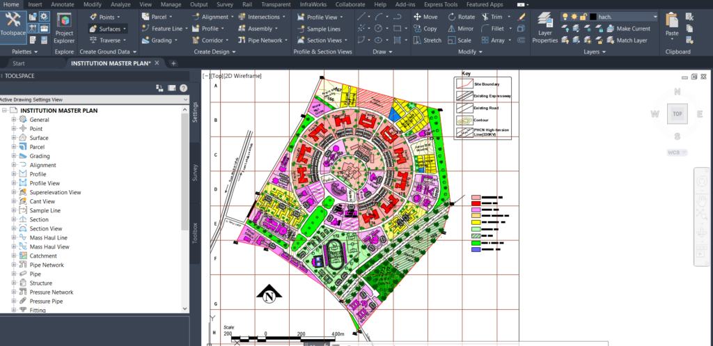
Our cartographers, CAD drafters, and surveyors collect data from different sources to make maps and visualize qualitative and quantitative data. These include detailed plan topographic maps, site plans, site design thematic maps, web maps, interactive maps, environmental maps, pipeline maps, touristic maps, and others.
