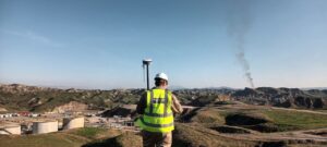
المسح الطوبوغرافي وتصميم المواقع
Geomap’s survey team delivers accurate topographic data and site designs for oil and gas facilities, roads, residential developments and municipal land. We handle every stage of a project, from establishing…
الخدمات والحلول
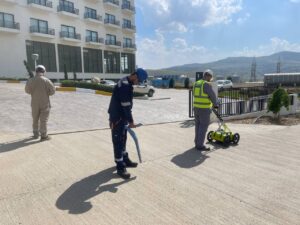
كشف الخدمات تحت الأرض
Before any excavation, it is essential to know what lies below the ground. Geomap locates and maps buried pipes, cables and other utilities using Ground Penetrating Radar (GPR) and electromagnetic…
الخدمات والحلول
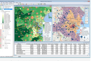
نظم المعلومات الجغرافية والكاد (GIS و CAD)
Our cartographers, CAD drafters and surveyors turn field data and other sources into clear, accurate maps and drawings that support planning, design and decision-making. What we deliver Topographic maps and…
الخدمات والحلول

تقييم الأثر البيئي والاجتماعي
We support government bodies, international organisations, companies and investors with the data, maps and studies needed to assess the environmental and social impact of their projects. Our services Environmental and…
الخدمات والحلول

التحويل من المسح الليزري إلى BIM والنمذجة ثلاثية الأبعاد
We convert laser scans and existing drawings into accurate digital models of plants and facilities, giving engineering teams a reliable basis for design, revamps and maintenance. Our services Intelligent P&IDs…
الخدمات والحلول
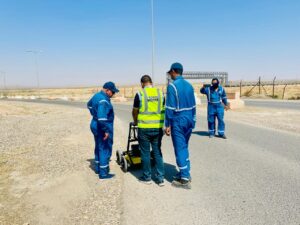
التدريب وبناء القدرات
Geomap partners with international companies to deliver geospatial, GPR and utility mapping training courses with accredited certificates. Courses combine classroom theory with hands-on field practice, and can be held at…
الخدمات والحلول