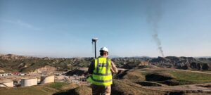
Survey & Site design
Our professional and experienced staff specialise in land surveying and drone survey with the capability of implementing projects from preliminary surveying to detailed survey, site planning, site design and grading,…
SERVICES & SOLUTIONS
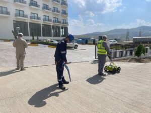
Underground Utility Detection
A utility survey is performed using Ground Penetrating Radar (GPR) techniques and Radio Detection (RD) to locate and trace pipes, cables, and metallic and non-metallic underground facilities. Prior to any…
SERVICES & SOLUTIONS
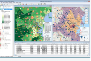
GIS & CAD
Our cartographers, CAD drafters, and surveyors collect data from different sources to make maps and visualize qualitative and quantitative data. These include detailed plan topographic maps, site plans, site design…
SERVICES & SOLUTIONS

Feasibility studies & Reporting
We provide comprehensive reports and maps to the government, international organizations, teams, companies and investor projects through data collection and studies such as; qualitative and quantitative data collection, visualizing and…
SERVICES & SOLUTIONS
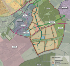
Master Planning
Our GIS specialists, Data collectors, Urban planners and designers brainstorm ideas and plan with consultation with stakeholders, communities, and developers to define the zones for residential, commercial, industrial, and recreational…
SERVICES & SOLUTIONS
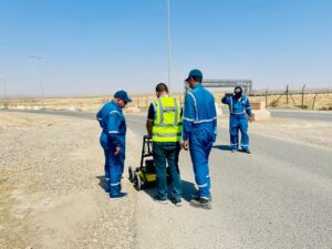
Training & capacity building
Geomap partners with international companies for geospatial, GPR and Utility mapping training courses with an accredited certificate. Individuals, students, surveyors, civil engineers, urban planners, highway engineers, geographers, and archaeologists can…
SERVICES & SOLUTIONS