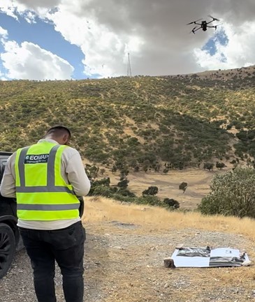
Our survey drones capture high-resolution aerial imagery over large areas quickly and safely, including sites that are hard to reach on foot.
What we produce
- Orthophotos (accurate aerial maps)
- Digital Terrain Models (DTM) and Digital Surface Models (DSM)
- Contours and earthwork volume calculations
- As-built and quantity measurements
Typical uses
Land and municipal surveys (up to 12,000 donum in a single project), road corridor surveys, construction progress and as-built surveys, and archaeological site mapping.
How it works
Before each flight we place ground control points and measure them with GNSS, so the final maps are tied accurately to the project coordinate system. The drone then flies a planned route, capturing overlapping images that are processed with photogrammetry software into maps and 3D models.
Why use a drone survey?
A drone can survey in a day what would take a ground team weeks, with less risk to staff and complete coverage of the site. It is ideal for large areas, open land, road corridors and sites that are difficult or unsafe to walk.
Request a quotation: email info@geomapiq.com or call +964 (0)772 931 1313.