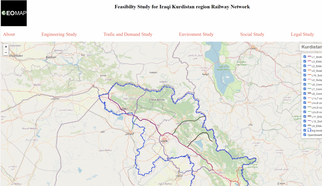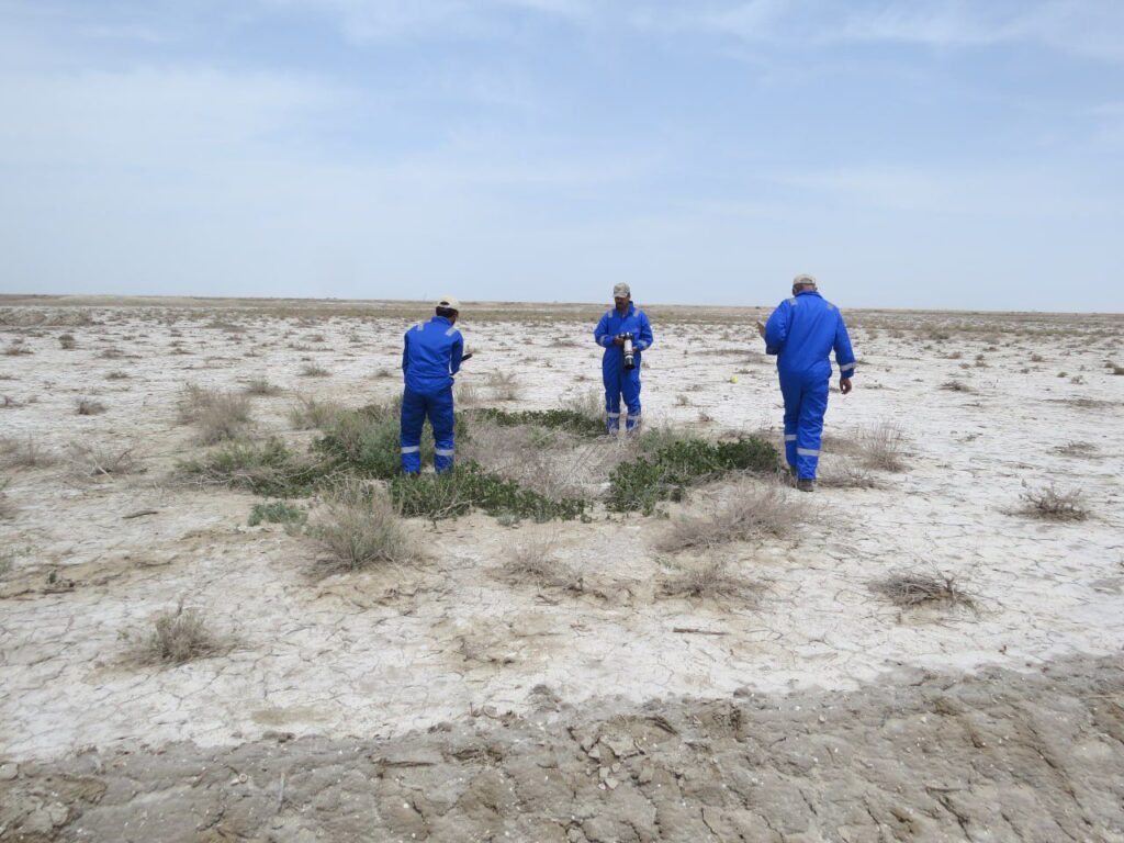
We support government bodies, international organisations, companies and investors with the data, maps and studies needed to assess the environmental and social impact of their projects.
Our services
- Environmental and Social Impact Assessment (ESIA)
- Qualitative and quantitative data collection
- Reconnaissance surveys
- Site selection using integrated GIS
- GIS data provision, visualisation and mapping
- Stakeholder identification
- Environmental studies and project risk assessment
Our team has supported many international companies working in Iraq and the Kurdistan Region.
Our approach
- Scoping: defining the project, its area of influence and the key issues to study
- Baseline studies: collecting environmental and social data in the field and from existing sources
- Impact assessment: identifying and evaluating the likely effects of the project
- Stakeholder engagement: identifying affected groups and recording their concerns
- Mitigation and management plans: practical measures to avoid or reduce impacts
- Reporting: clear reports and maps prepared for the client and the relevant authorities
Our GIS and survey capabilities mean every study is backed by accurate maps and spatial data, which makes findings easier to understand and act on.
Request a quotation: email info@geomapiq.com or call +964 (0)772 931 1313.