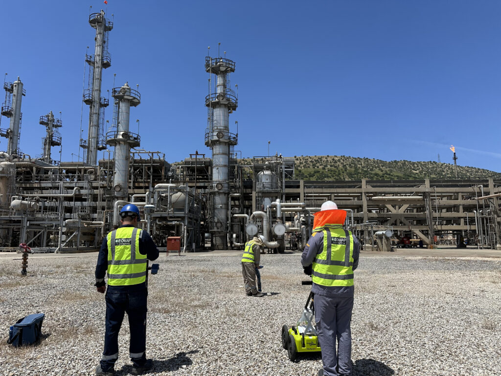
A utility survey is performed using Ground Penetrating Radar (GPR) techniques and Radio Detection (RD) to locate and trace pipes, cables, and metallic and non-metallic underground facilities. Prior to any surveying, we investigate the site. In the meantime, with utilities, we measure and record the coordinates using the GNSS system. The deliverable from a utility survey will usually be in the form of a drawing and a layout of the utility map on the satellite image to have a more comprehensive map, as well as the supplementary report.