Geomap’s survey team delivers accurate topographic data and site designs for oil and gas facilities, roads, residential developments and municipal land. We handle every stage of a project, from establishing geodetic control points to detailed surveys, site design and as-built documentation.
What we deliver
- Geodetic control points and benchmarks
- Detailed topographic surveys and mapping
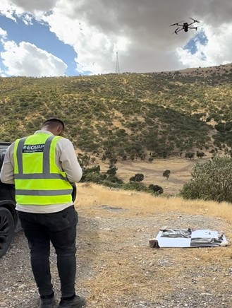
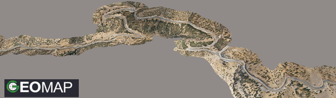
- Drone (UAV) surveys with orthophotos, DTM and DSM
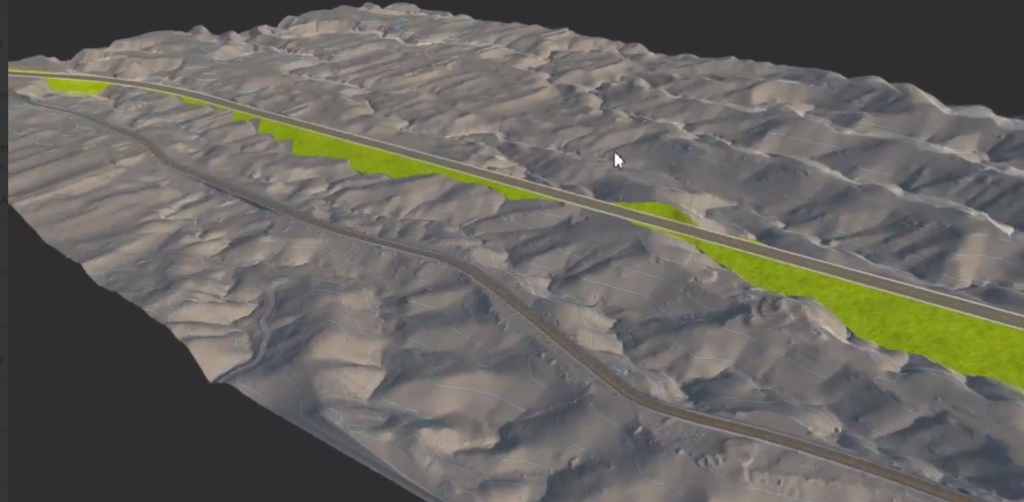
- Road alignment surveys, profiles, cross-sections and earthwork volumes
- Site planning, site design, grading and infrastructure design
- Stake-out of structures, platforms and pipe supports
- As-built surveys with full documentation
How we work
Our teams use GNSS receivers, total stations and survey drones. Data is delivered in the client’s coordinate system (usually WGS 84 / UTM Zone 38N in Iraq) as CAD drawings, GIS data and PDF maps.
Selected projects
- Zakho Master Plan: topographic survey of 3,500 hectares and georeferencing of 17 cadastral maps
- 24 km road drone survey and design, Salahaddin
- Misan residential project: control points, site survey and infrastructure design
- Drone survey of 12,000 donum of municipal land, Raparin
Why accurate survey data matters
Survey data is the foundation of every design. An error in a level or a coordinate carries through to the design, the quantities, the cost and finally to construction on site. That is why we tie every survey to reliable control points and check our work in the field and in the office before anything is delivered.
Our approach to quality
- Control points established with GNSS and connected to the project or national coordinate system
- Repeated observations and independent checks on key points and levels
- Office review of all drawings and data before delivery
- Clear survey reports describing the methods, equipment and control used
Request a quotation: email info@geomapiq.com or call +964 (0)772 931 1313.